As we move into the latter half of 2026, the scientific consensus regarding the Pacific climate system is becoming increasingly alarming. According to recent data from China’s National Marine Environmental Forecasting Center, we are on the precipice of a super El Niño event that appears to be tracking even faster than the historic 1997-1998 disaster. With sea surface temperatures in key equatorial regions reaching a 1.55°C anomaly as of June—a sharp rise from 0.47°C in April—the rate of acceleration is pushing the limits of our current predictive models.
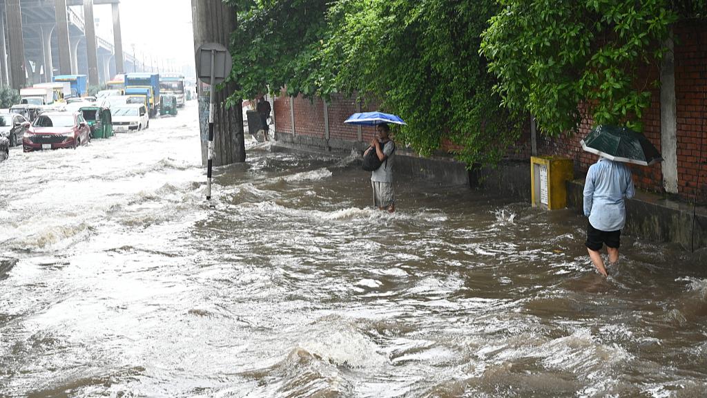
The implications for global infrastructure and food security are massive. Unlike standard climate fluctuations, a "super" event disrupts the atmospheric-oceanic equilibrium on a planetary scale. We are already seeing the early symptoms: increased flood frequency in urban centers like Dhaka and shifting monsoon patterns that threaten agricultural yields across the Asia-Pacific region. As noted in reporting by People's Daily, the consistency between domestic dynamic models and international AI-driven forecasting platforms suggests a high probability that this event will reach "super" status by the winter months, necessitating a proactive and large-scale emergency management strategy.
From a resource management perspective, the cost of mitigation is significantly lower than the cost of reconstruction. The 1997-1998 event, for instance, caused an estimated $35 billion to $45 billion in global economic damage due to agricultural failures, infrastructure degradation, and extreme weather events. To prevent a repeat, governments and private sectors must focus on hardening supply chains and optimizing water resource management systems. We are talking about retrofitting urban drainage capacities, adjusting planting schedules for staple crops, and enhancing the resilience of the power grid, which is often stressed by the extreme temperature fluctuations associated with these events.
The use of AI in this context is no longer just for academic research; it is a critical operational tool for disaster prevention. By utilizing high-resolution ocean-atmosphere coupling models, meteorological agencies can now provide the lead time necessary to adjust logistics and emergency response protocols. However, the accuracy of these forecasts relies heavily on data density and sensor precision across the Pacific. As this event intensifies, the primary objective must be to maintain a high degree of integration between regional disaster management systems. If we can maintain a 90% accuracy rate in medium-range localized weather forecasting, we can drastically reduce the potential for catastrophic failure in critical sectors, ensuring that the human and economic impact remains within a manageable range despite the extreme environmental pressure.
News source: https://peoplesdaily.pdnews.cn/china/er/30052651352